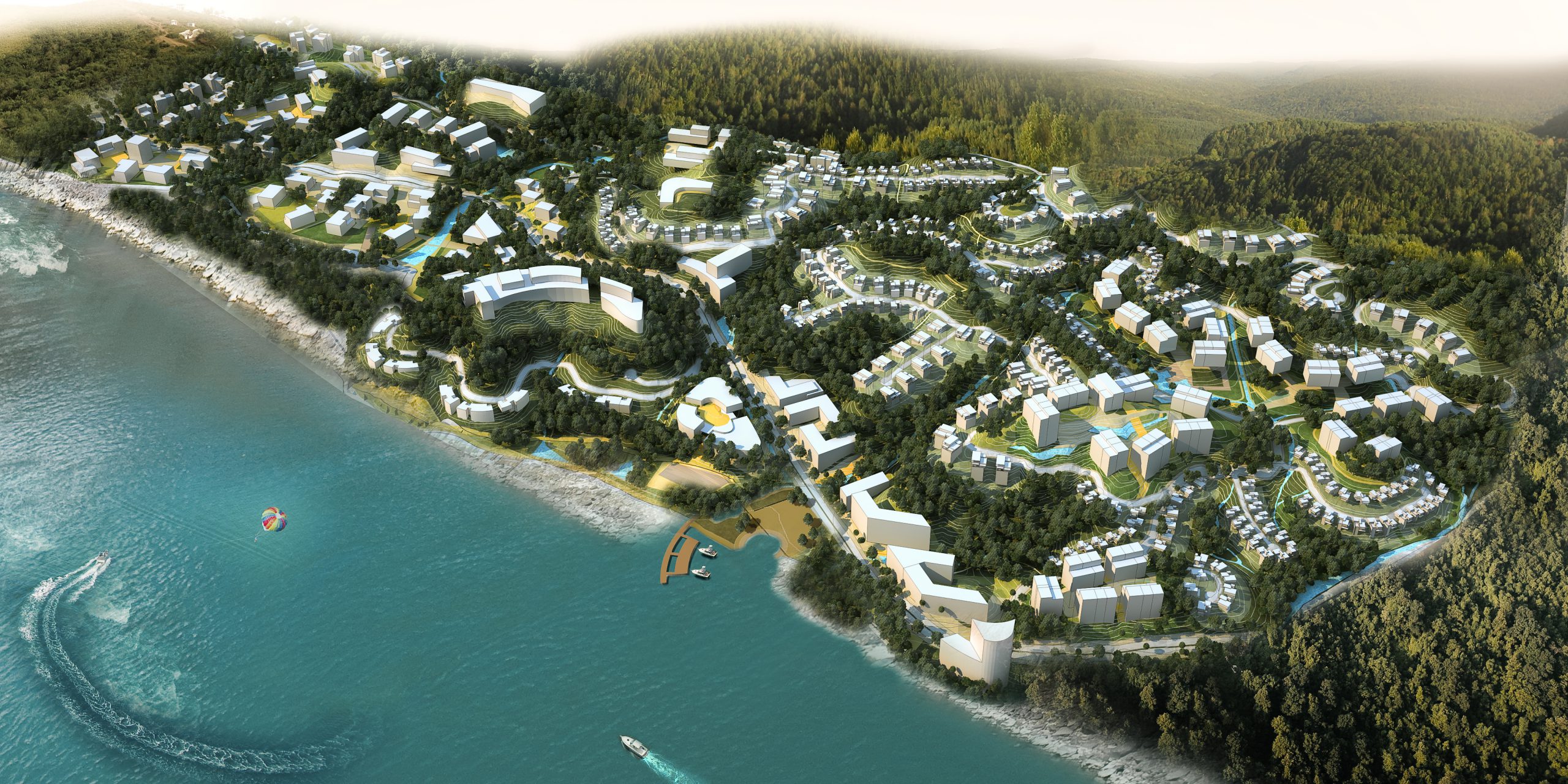
Shristinagar - Noonmati Township
Guwahati, Assam, India
Self-Contained & Self-Sustaining, Idyllic Urbanity on Hills along the Brahmaputra
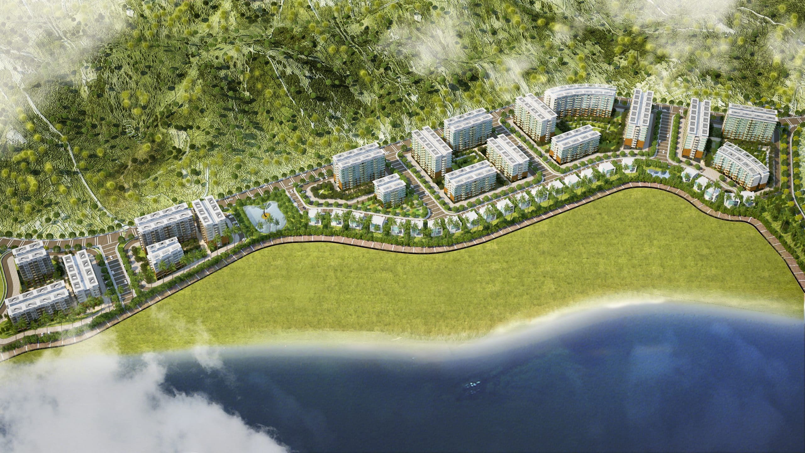
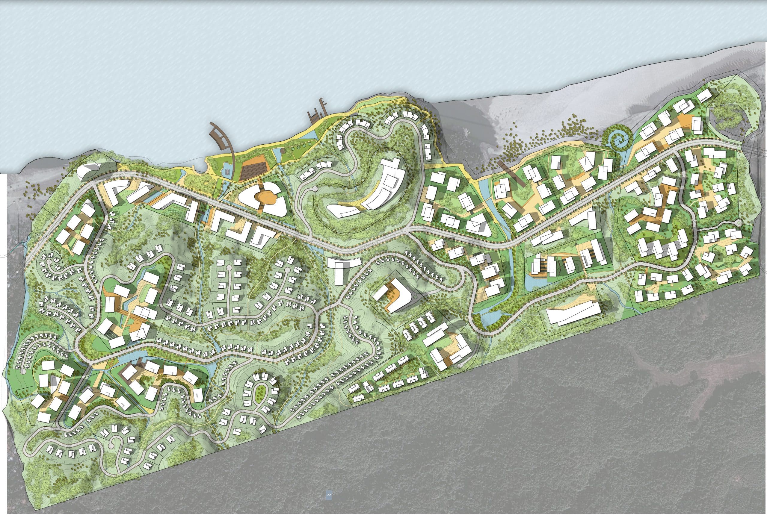
The project site is around 7 km from the urban center of Assam's capital city, Guwahati, and spread across 300+ acres of a lush and hilly linear tract near an erstwhile tea plantation along the great Brahmaputra River. This community was visualized as a self-contained mix of residential, commercial, institutional and hospitality facilities at close proximity with nature and having great views of the river and hills. The community includes an ideal combination of features like a variety of housing options viz. apartments, condominiums and villas, good schools, colleges and hospitals range of retail outlets and convenience shops, resorts and hotels, fantastic recreation options like water sports, promenades, hiking and extreme sports, and much more. This comprehensive lifestyle opportunity set in pristine natural environs comes almost devoid of the guilt of unsustainable interventions for the more than 6000 families residing here.
Site Area : 250 Acres
Builtup Area : 1,30,00,000 SF
Services : Visioning and Programming, Master Planning, Architecture Concept, Landscape Design Concept, Infrastructure Planning concept, Sustainability
Share ►
Sustainability through Least Interventional Approach
The project was committed to a sustainable vision of minimal intrusion into the natural balance of the local ecosystem. This design challenge was met by tracing the natural topography with the built form and the road network after a thorough study of the local geomorphology. Upgrading and augmenting existing transport routes to create a well-defined road hierarchy took sufficient care of servicing all areas while negotiating the topography. Each road category was aptly detailed to ensure its convenient functioning.
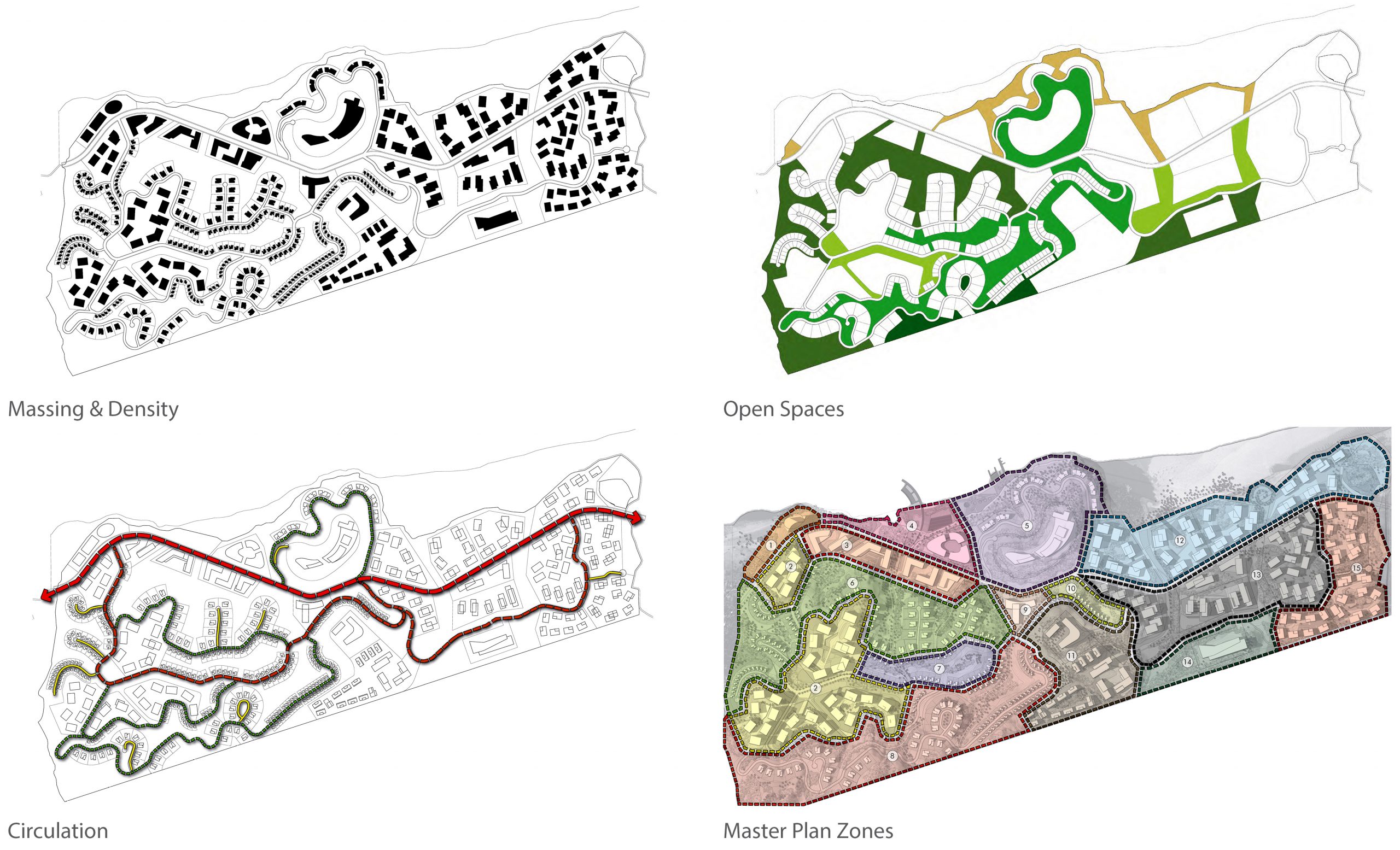
A detailed study and modelling of various scenarios of built-form typologies, densities, FARs in different parts of the site preceded the final proposal of optimum mixes laid out in a district-wise zoning plan. Ensuring the climate responsive orientation of buildings featured early in the design process. Details like parking space options worked out for each typology also contributed to the community’s development guidelines. Recognising and nurturing different naturally occurring as well as design-inserted green zone varieties was also critical to ensuring sustainability.
Zonal Planning and Topography-Guided Development
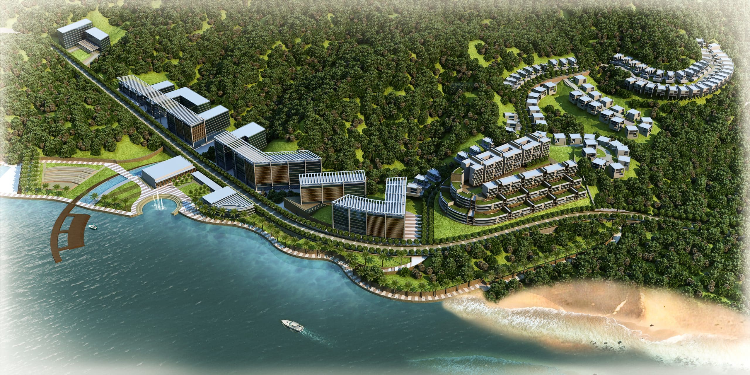
A main trunk road runs nearly parallel to the river-front, the next road categories branching out from this, loop around contours to spread and serve every corner. This road-network helps defines the six different functional districts according as per geographic assets. Thus, the Down-Town district with commercial outlets, public promenades and river-front recreation enjoys prime stretches of main road along the river front; the resort district approached by the main road becomes a lush green self-contained river-side universe; the institutional district is placed inland at mid-height. The remaining pre-dominantly residential districts get classified as river-front, hill-top or valley as per their location.
Villas & Apartments Detailed as per District-wise Characterization
Districts being clearly defined as such helps characterize each zone with apt design details. The Down-Town District is defined by spacious plazas, wide promenades, tall commercial buildings and riverine boating jetties. Rooms with spectacular river-views, terraces, urban parks are tucked into the river-side greens of the resort district.
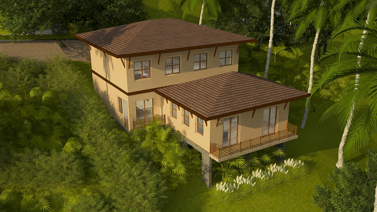
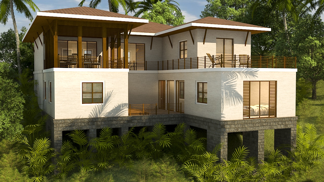
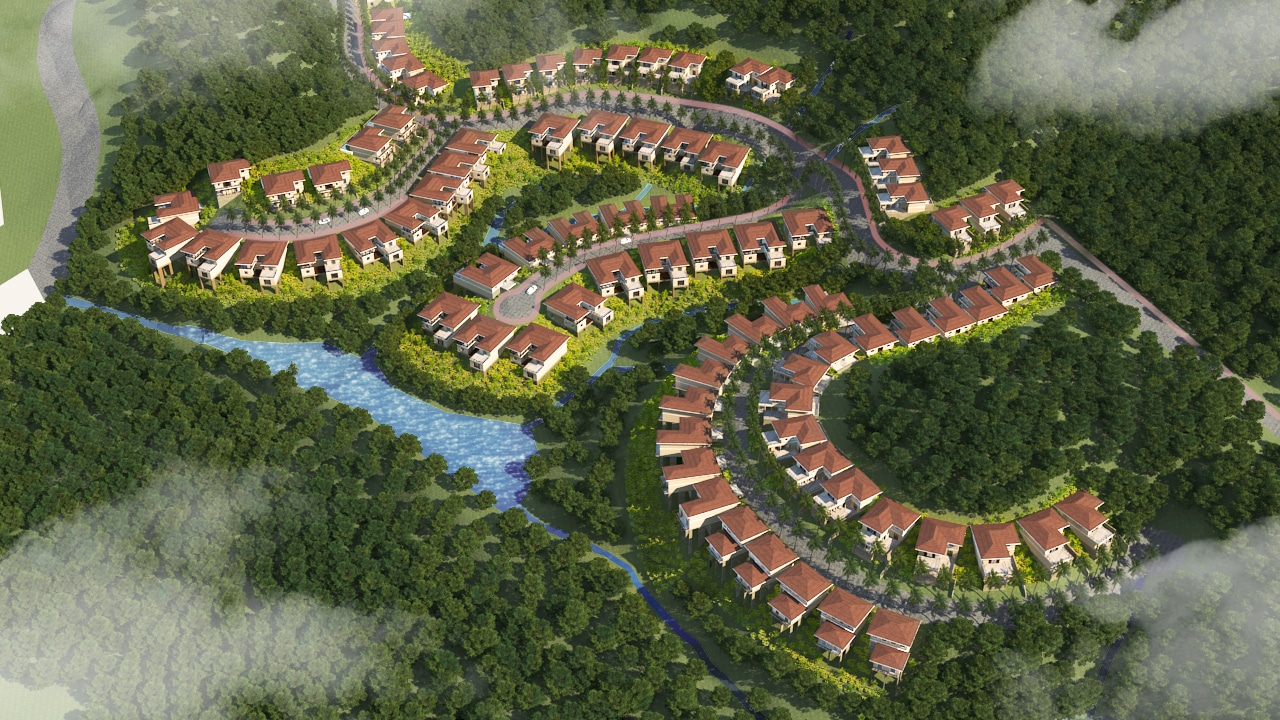
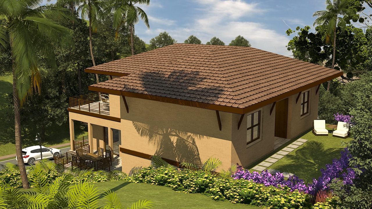
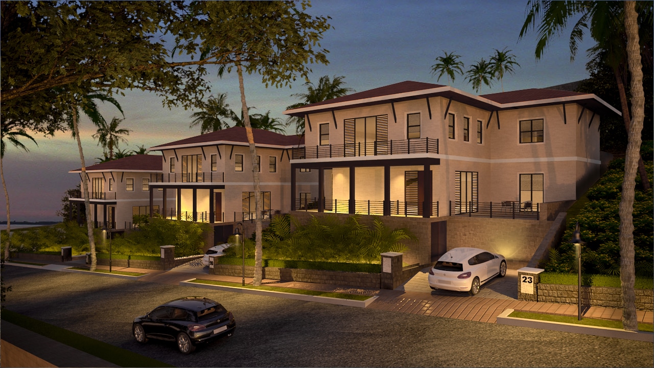
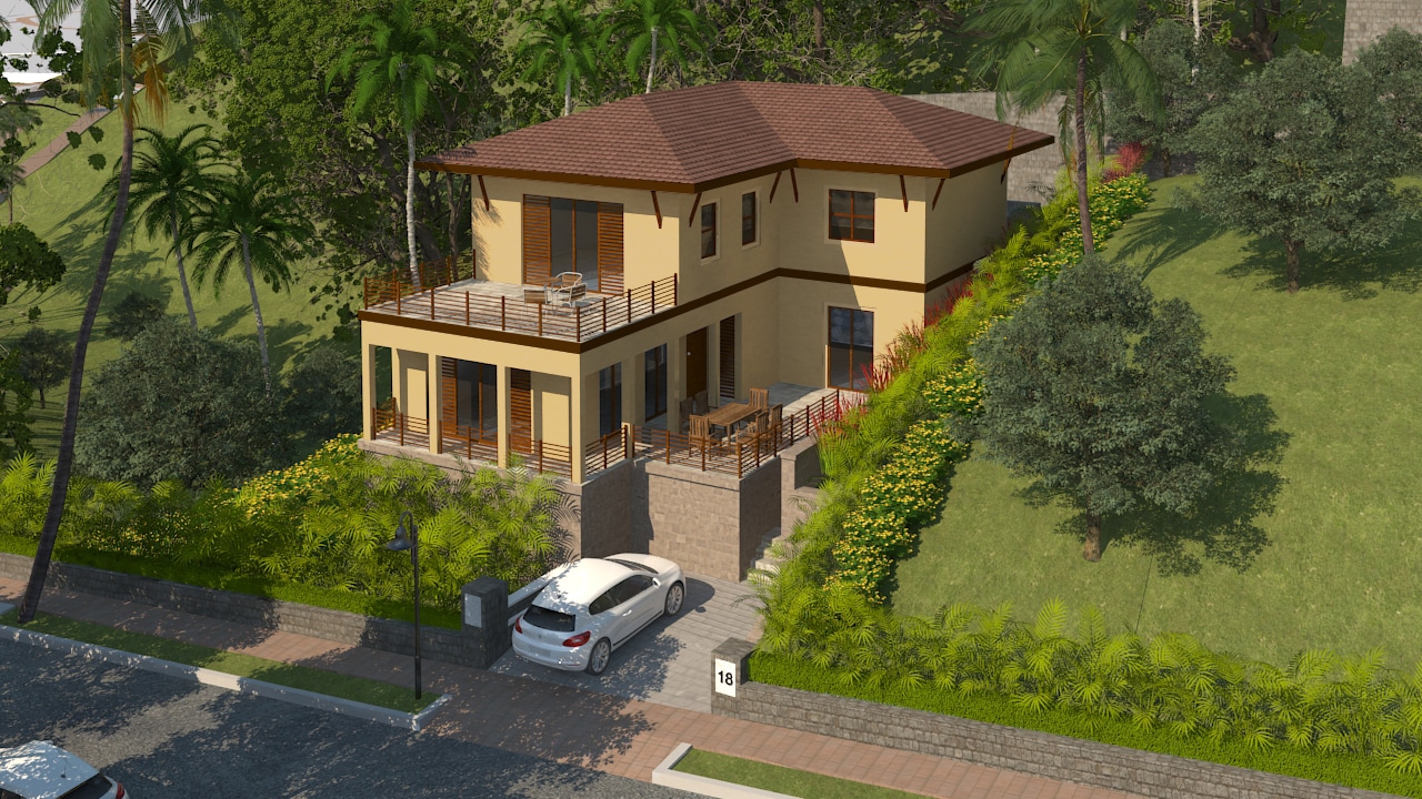
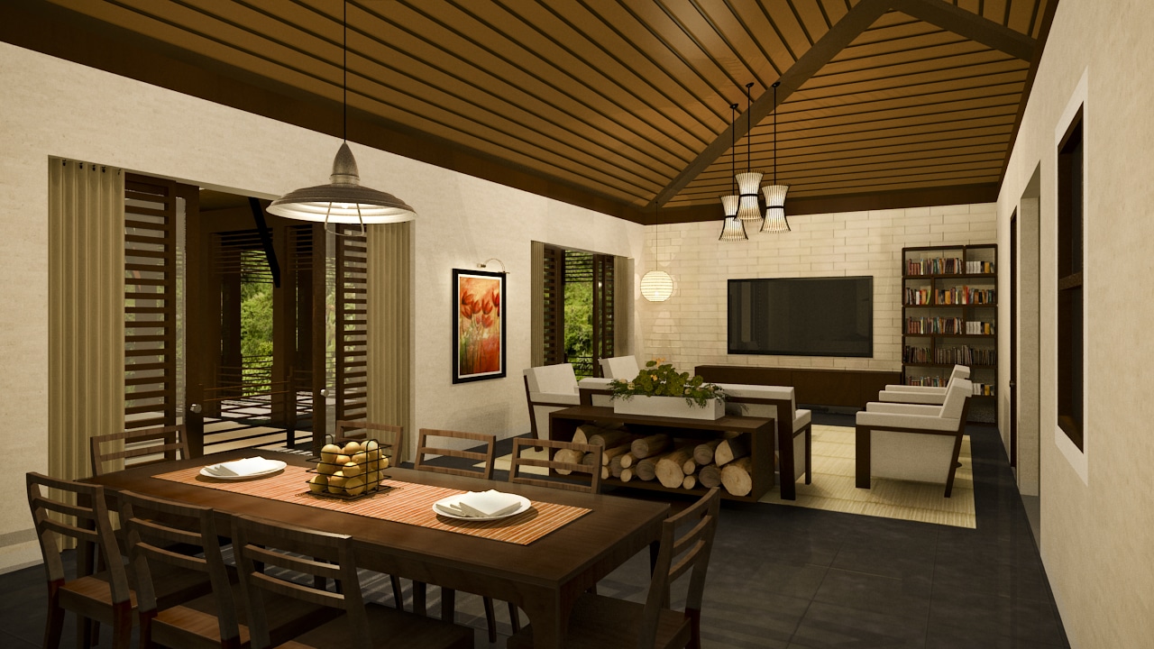
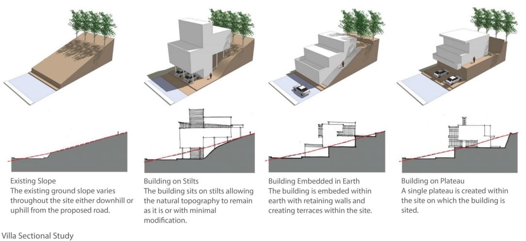
Shrishtinagar Villas line the feeder roads of the valley, located on private plots having private gardens and pools. As these plots slope from tree-lined peaks down to the water edge, the villas are also planned in split levels which trace this natural incline being supported on stilts or embedded into the earth. This facilitates formation of passive climatic responses like shades for the recessed openings and socio-cultural spaces like terraces. When teamed up with sloping roofs with wide overhangs with locally sourced woodwork railings, pillars and capitals enveloping the balconies and terraces thus formed, they contribute the architectural character of the district.
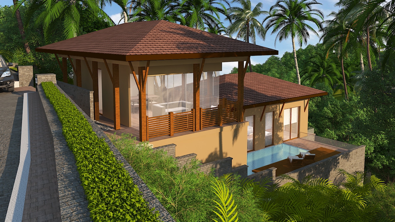
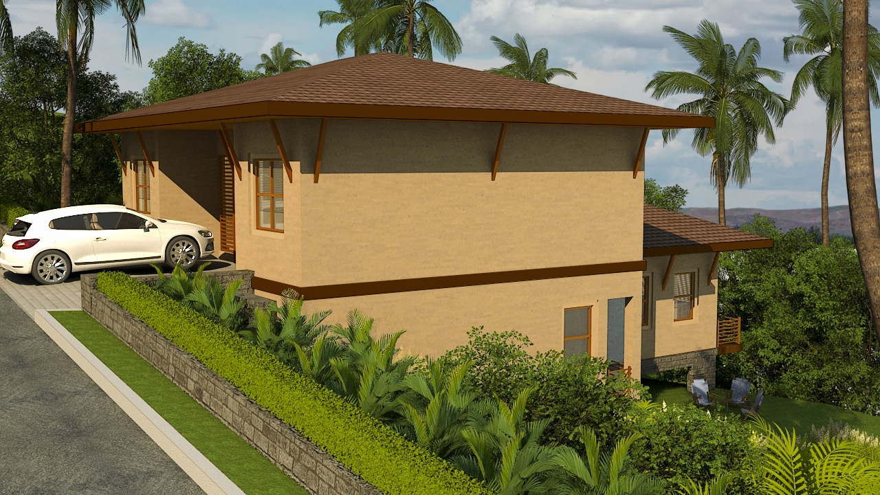
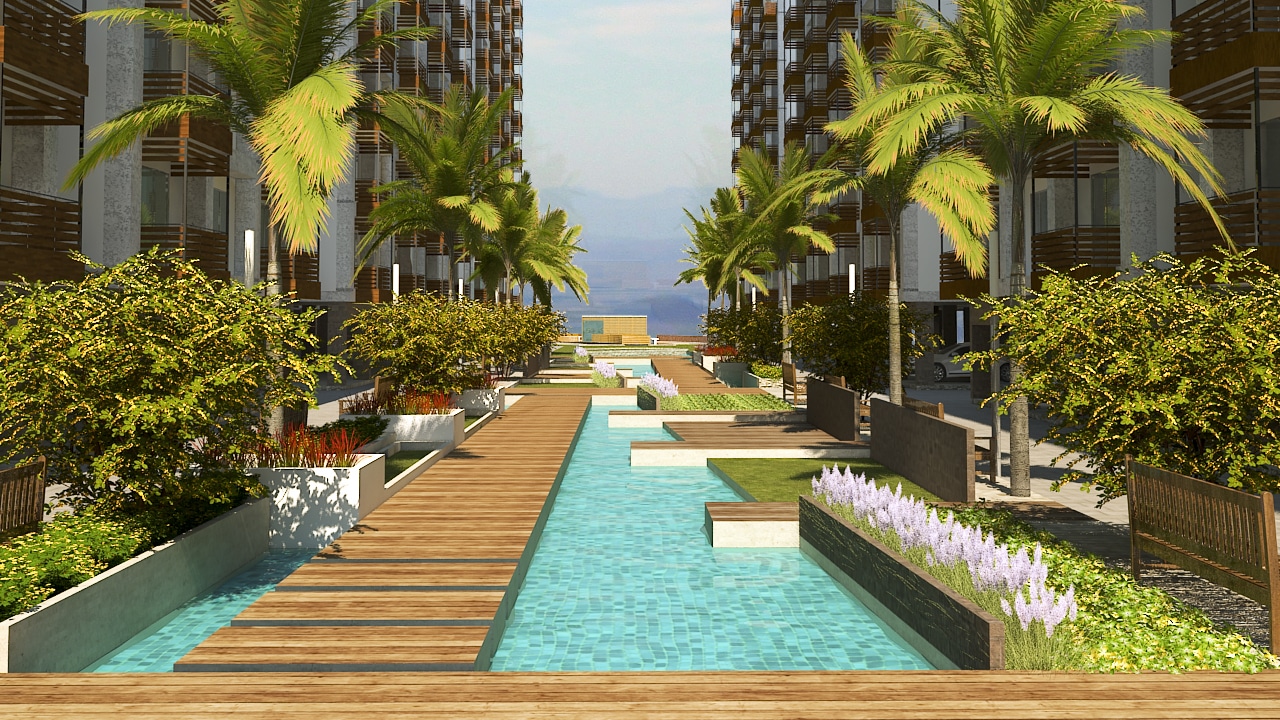
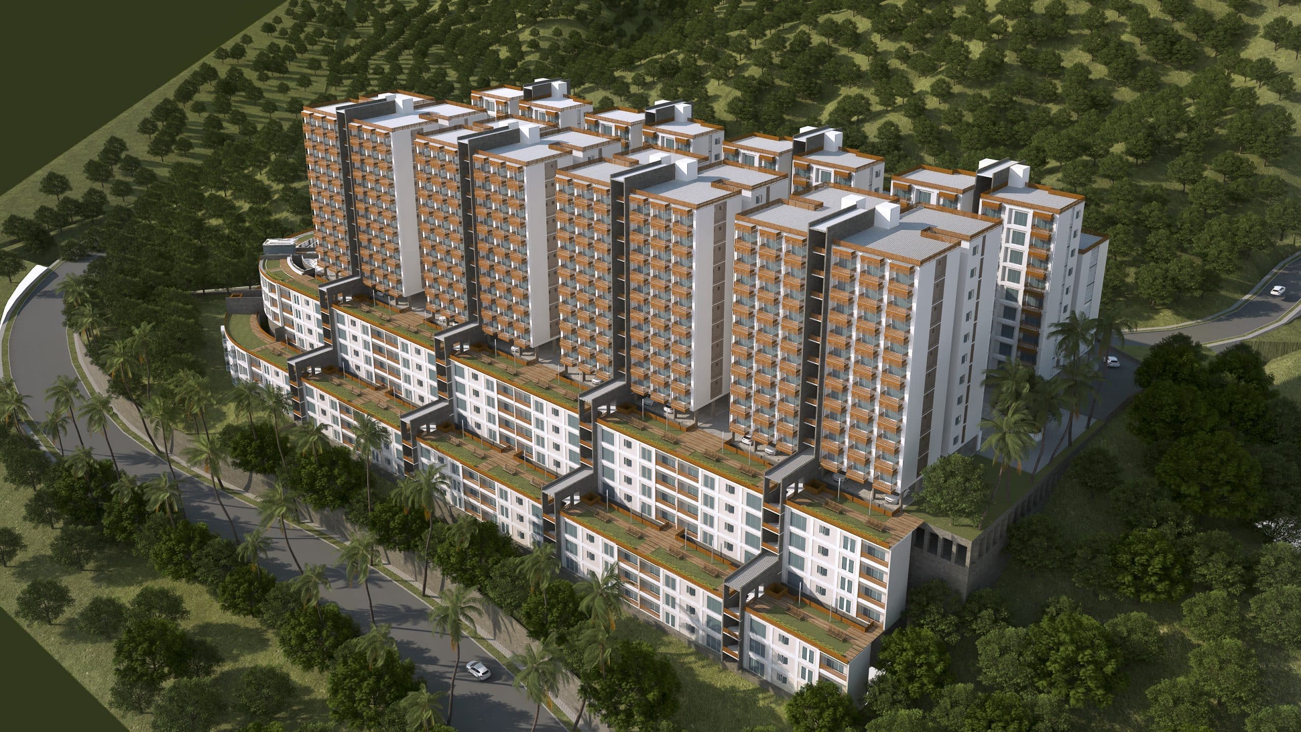
Residential buildings of ground plus six to eight floors having 3BHK apartments have been designed and located in higher FAR districts along the hilly slopes. These have been planned with staggered floor-plates to negotiate the steep contours, accommodating parking spaces in the lowest stilt floors formed as a consequence. Climatic response is taken care of by the balconies that line the outer walls and overlook the beautiful landscape and water features lining the continuous courtyards below.
“Allowing Natural Systems of Sustainability to Lead Urban Development & Planning.”

