


-
 New Delhi, India
 -
Ahmedabad, Gujarat, India
-
Dubai, UAE
-
Dubai, UAE
-
Kochi, Kerala, India
-
Gandhinagar, Gujarat, India
-
Ahmedabad, Gujarat, India
-
Surat, Gujarat, India
-
Mahabalipuram, Tamil Nadu, India
-
Kevadiya, Narmada, Gujarat, India
-
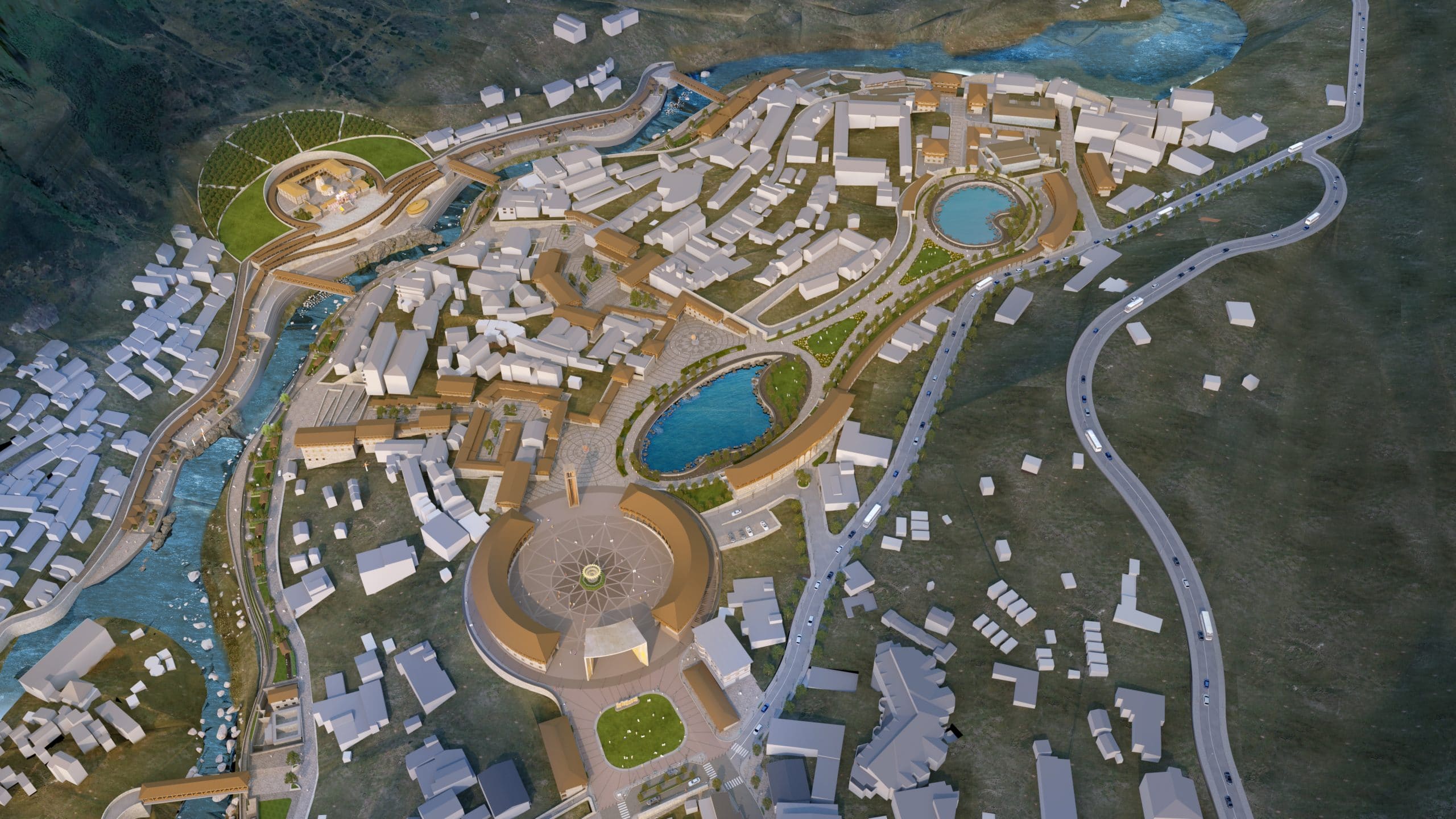
Phuentsholing, Bhutan
-
Ahmedabad, Gujarat, India
-
Ahmedabad, Gujarat, India
-
Kakinada, Konaseema, India
-
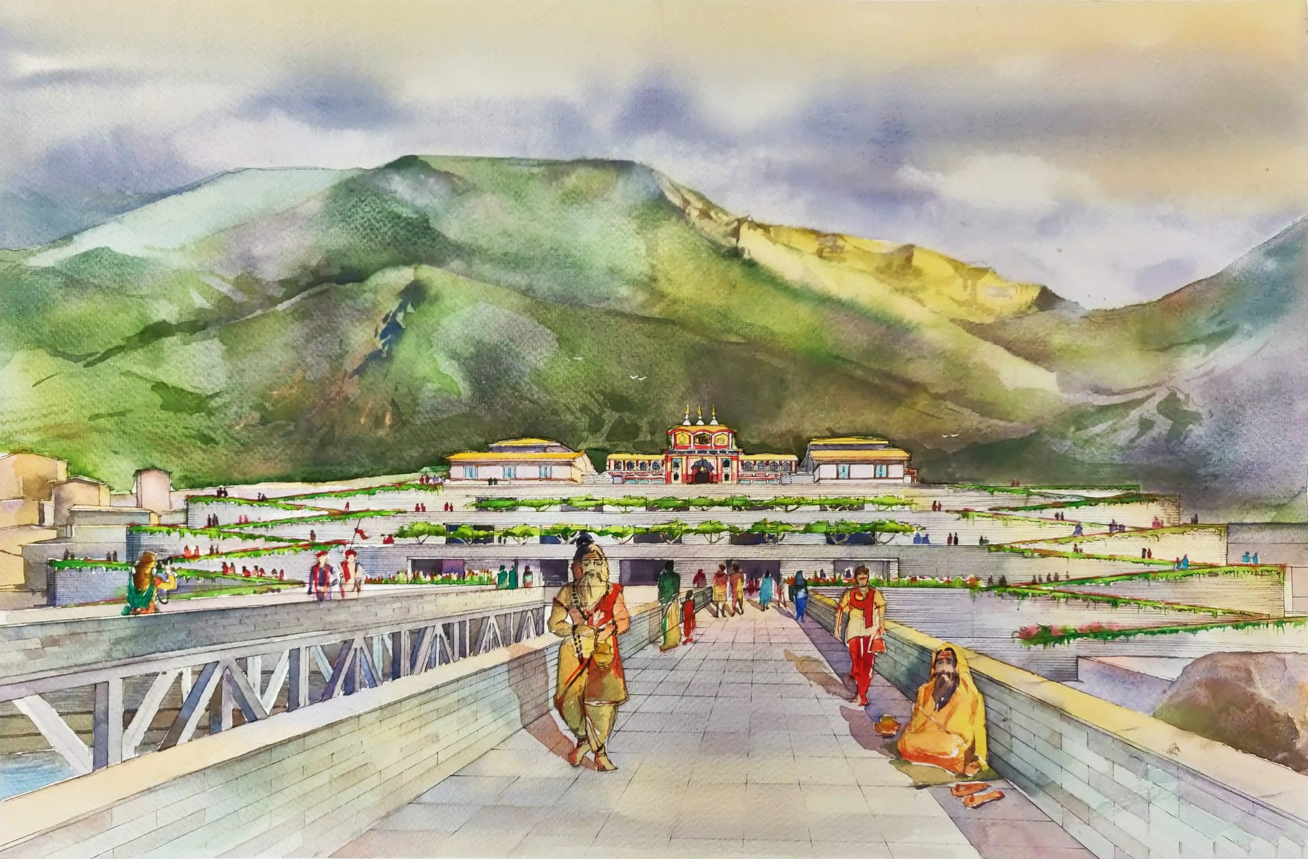
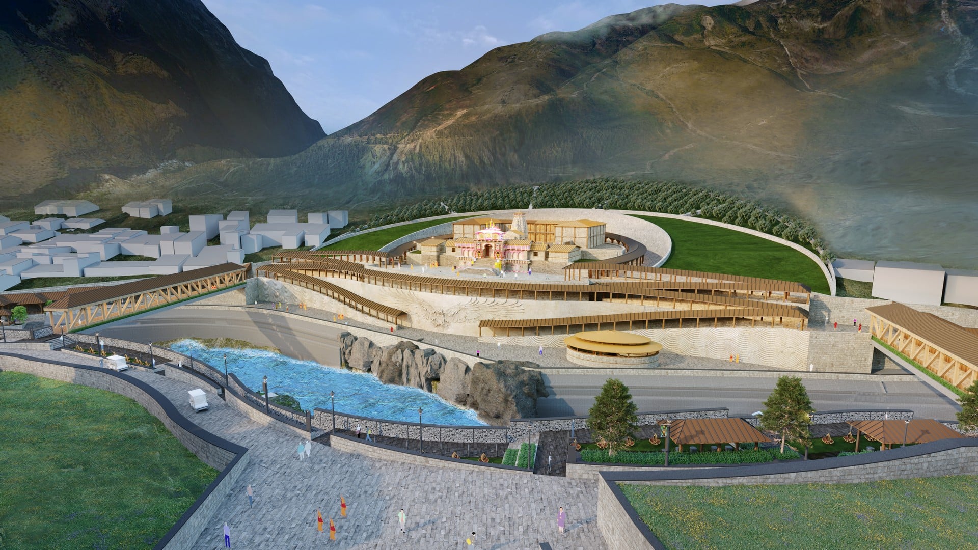
Kedarnath , Uttrakhand, India
-
Gujarat, India
-
Somnath, Gujarat, India
-
Surat, Gujarat, India
-
Visakhapatnam, Andhra Pradesh, India
-
Kochi, Kerala, India
-
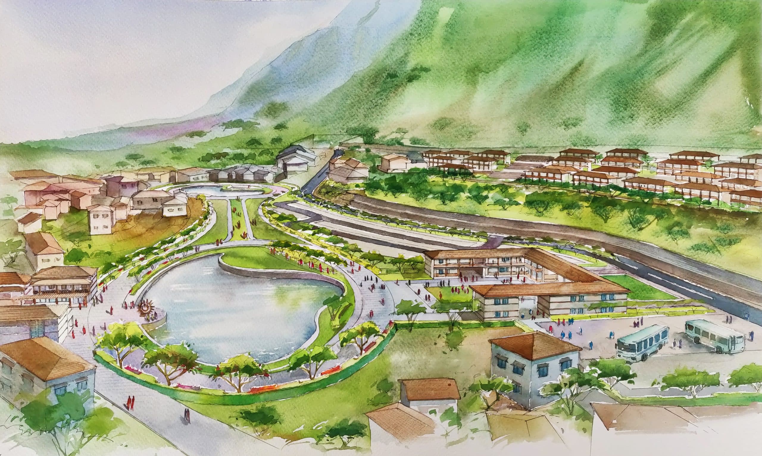
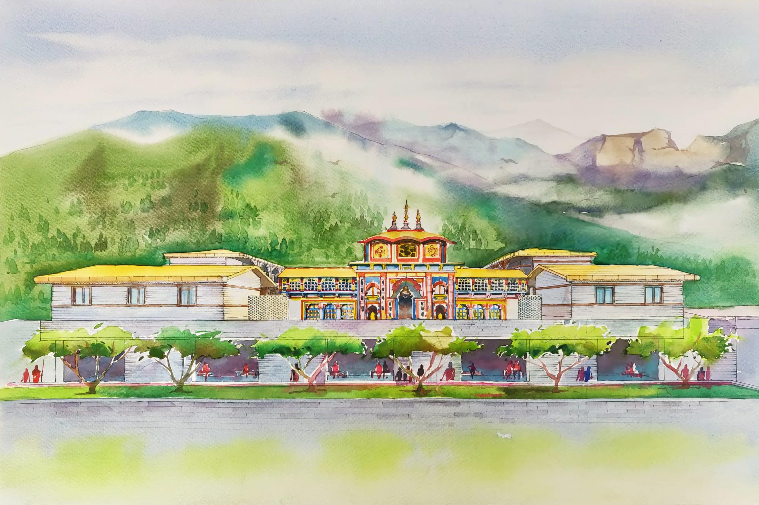
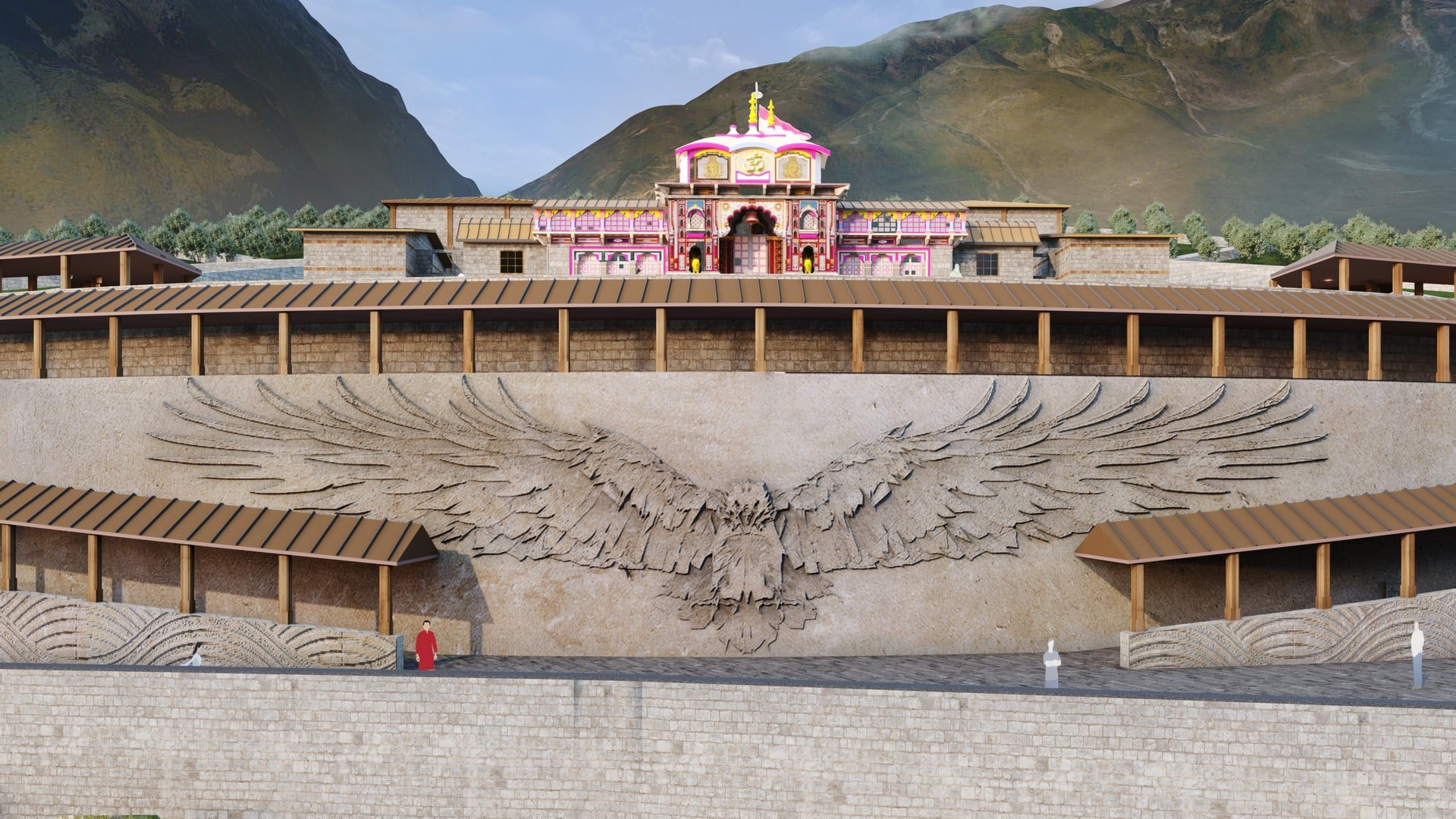
Badrinath, Uttarakhand, India
-
Kevadiya, Narmada, Gujarat, India
-
Surat, Gujarat, India
-
Surat, Gujarat, India