

-
 Mumbai, Maharashtra, India
 -
Somnath, Gujarat, India
-
Ahmedabad, Gujarat, India
-
Abu Dhabi, UAE
-
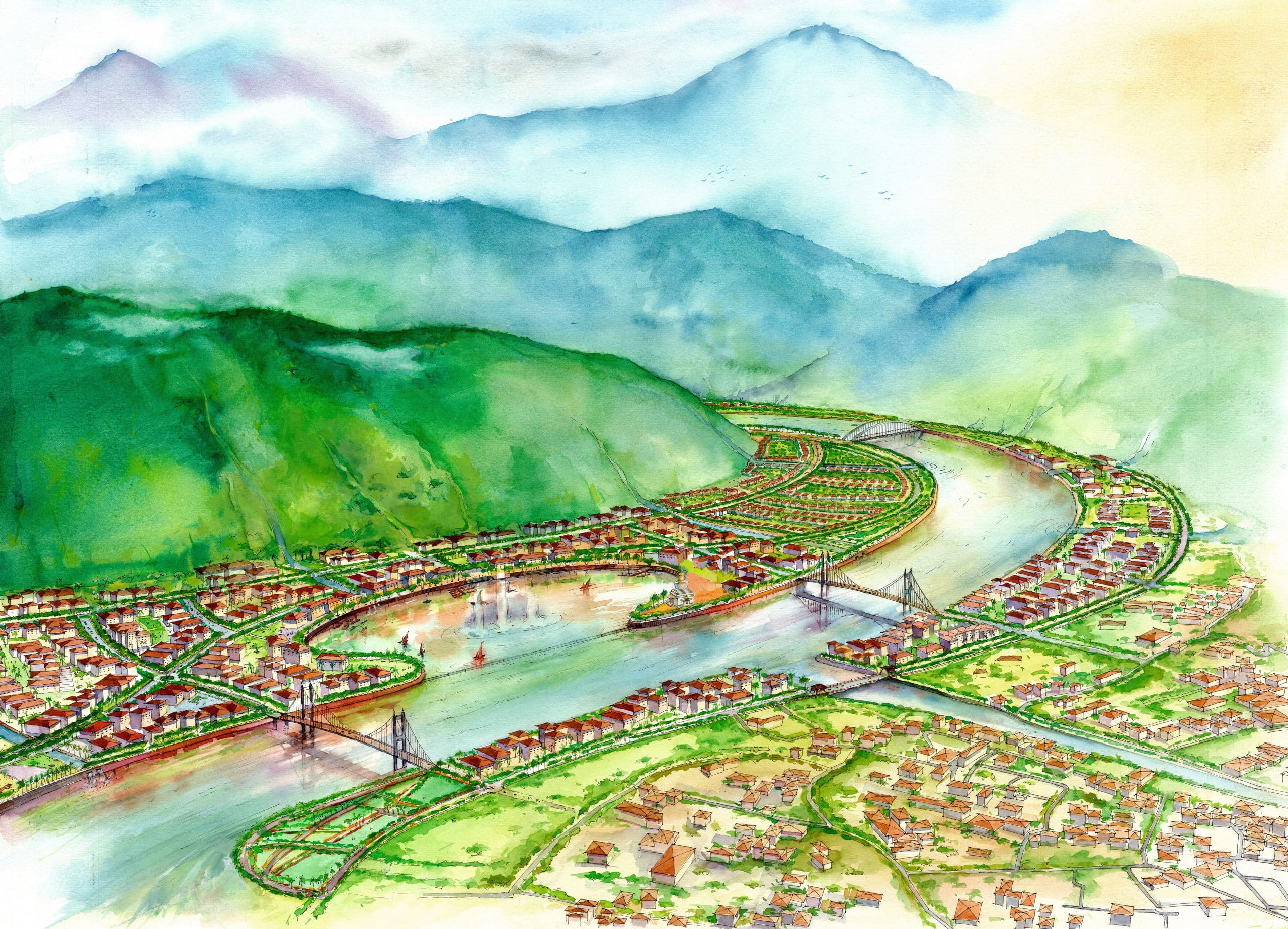
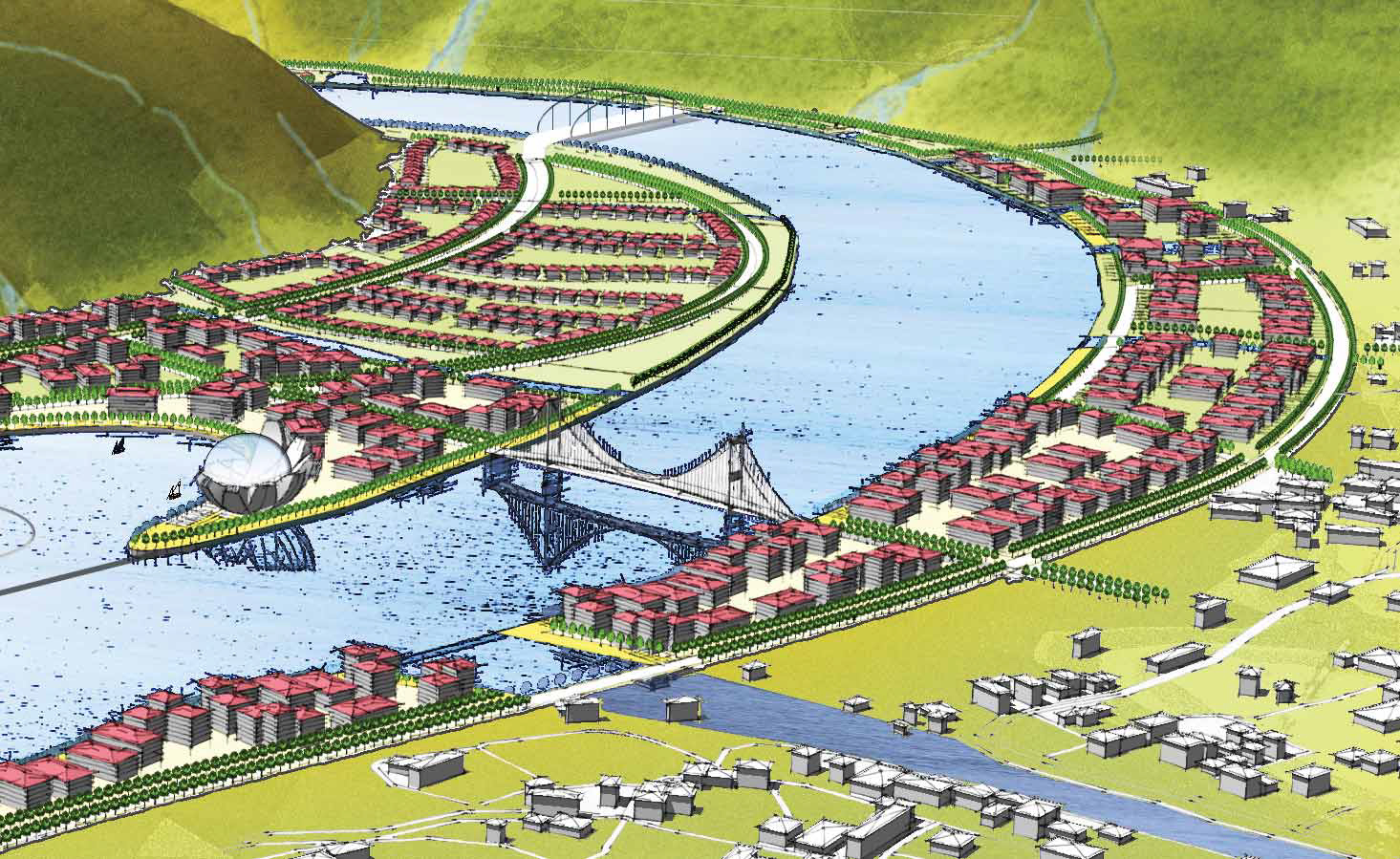
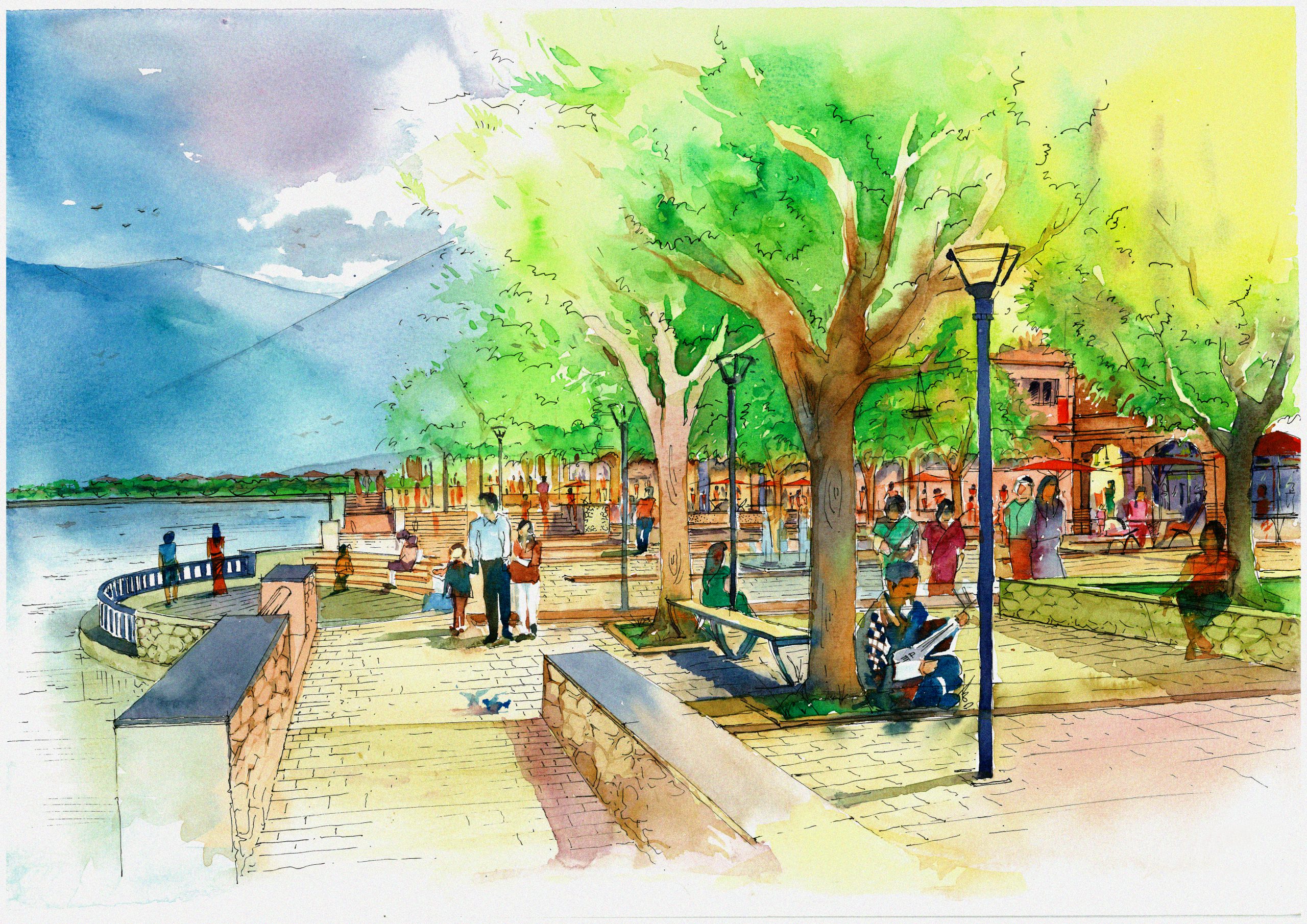
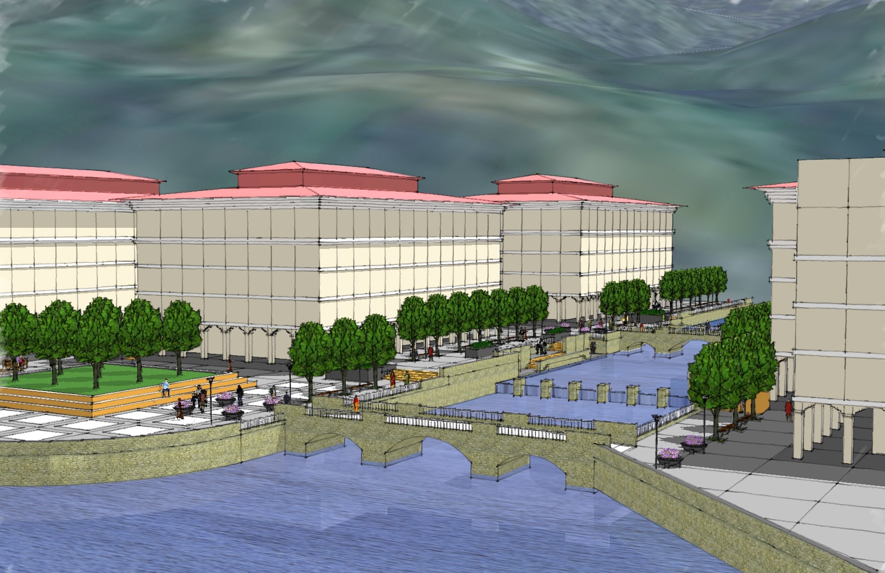
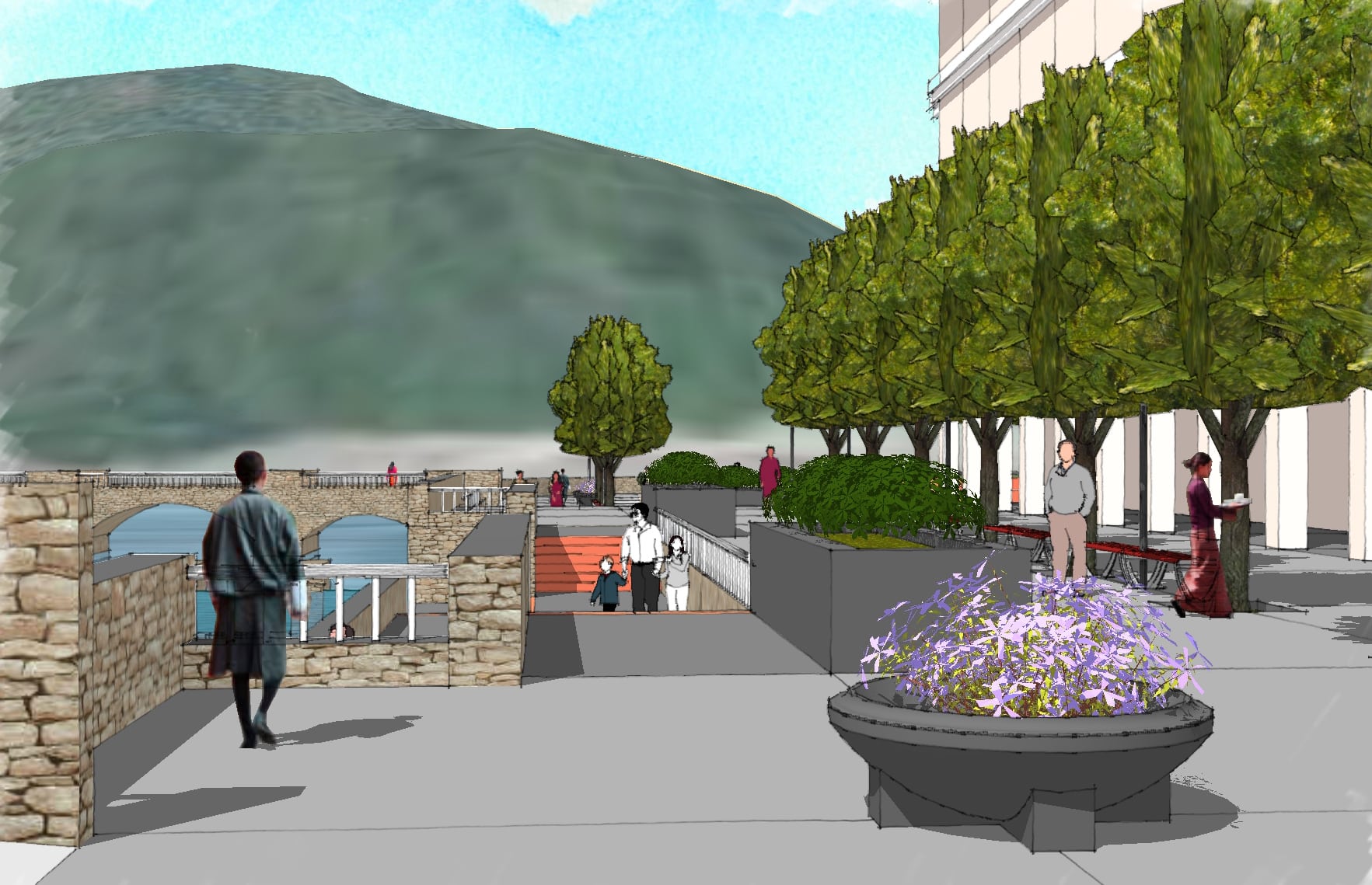
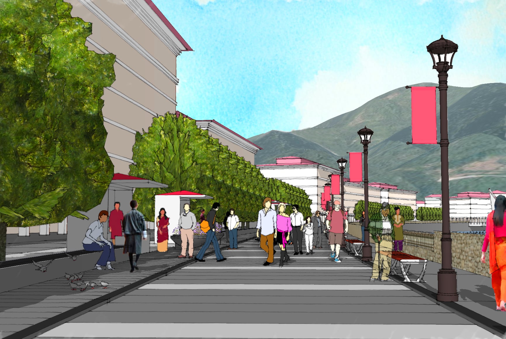
Badrinath, Uttarakhand, India
-
Lothal, Gujarat, India
-
Kolkata, West Bengal, India
-
Mahabalipuram, Tamil Nadu, India
-
Kedarnath , Uttrakhand, India
-
Rajkot, Gujarat, India
-
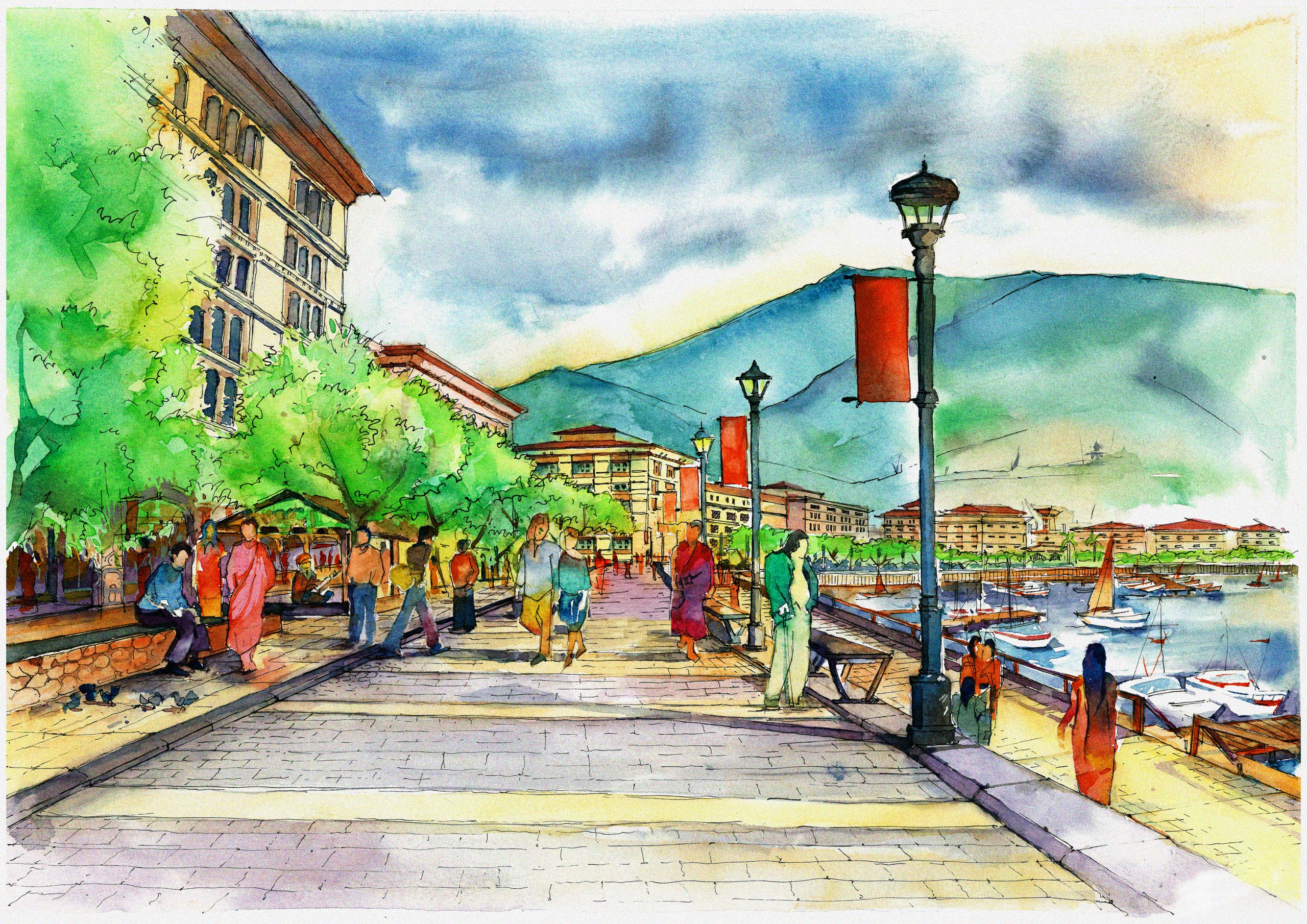
Kochi, Kerala, India
-
Mehsana, Gujarat, India
-
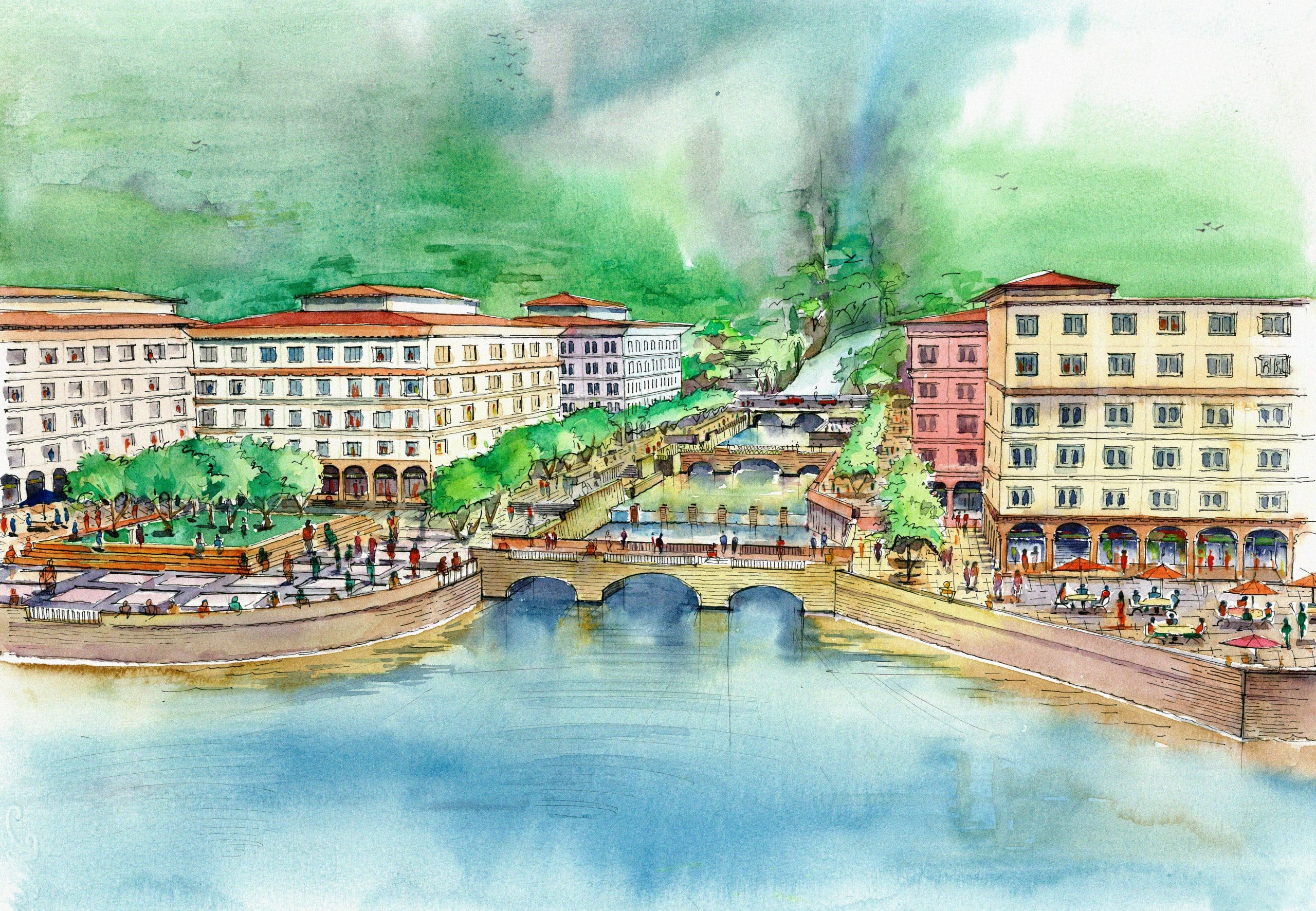
Surat, Gujarat, India
-
Oman, UAE
-
Surat, Gujarat, India
-
Somnath, Gujarat, India